Bogachiel Trip Report
Bogachiel to Lake Crescent via Seven Lakes Basin, July 28 2025 to August 2 2025
Feelings of the Trip
I just got back from my longest backpacking trip since my LA to Seattle walk attempt in 2019. It went great! Not only that, but I got to share it with my sister. Our parents live in Seattle, so I flew up with my gear and we had a couple days to sort it out before heading to Olympic National Park.
The week before the trip had me feeling tired and scattered, but I managed to remember all the important things and soon enough we set out for Forks, Washington with our parents driving the car and their dog along for the ride also. Getting to the far side of the Olympic Peninsula from Seattle takes a while, about 4 hours including the Edmonds-Kingston Washington State Ferry. We followed a winding dirt road to the Bogachiel River trailhead, grabbed our packs, and set off. Mom, Dad, and Riley escorted us to the national park boundary (past which dogs are not allowed) and waved us off as we continued ahead.
To my relief and delight, everything went as planned and we both got to enjoy six days of backpacking. After emerging at Lake Crescent we made it back to Seattle on public transit, taking Clallam Transit routes 12 and 123 (Strait Shot). I thought they ran a really great rural bus service. The Strait Shot connects to Washington State Ferries in Bainbridge, so we took a very busy ferry from there to Downtown Seattle.
Route Map
Here’s a map of our general route, including water icons where we found water in small streams or ponds. I didn’t make icons for larger streams/rivers/lakes and more reliable sources, which were plentiful as well. Also on Caltopo. Orange line indicates planned route, blue line shows our elected detour in the Sol Duc area.
Trip Report
Day 1: To Flapjack
Our first day was full of river lowland vistas and wide glacial plains. We were quickly swallowed up by the lush rainforest, even in one of the drier months of the year the greenery was impressive. Flapjack campground is nice, with about 5 campsites and a great setting along the Bogachiel River. We encountered one washout nearing Flapjack along the trail, but it’s possible to detour inland since the area is relatively flat.
At Flapjack there were one or two other parties, we waved but didn’t get a chance to chat.
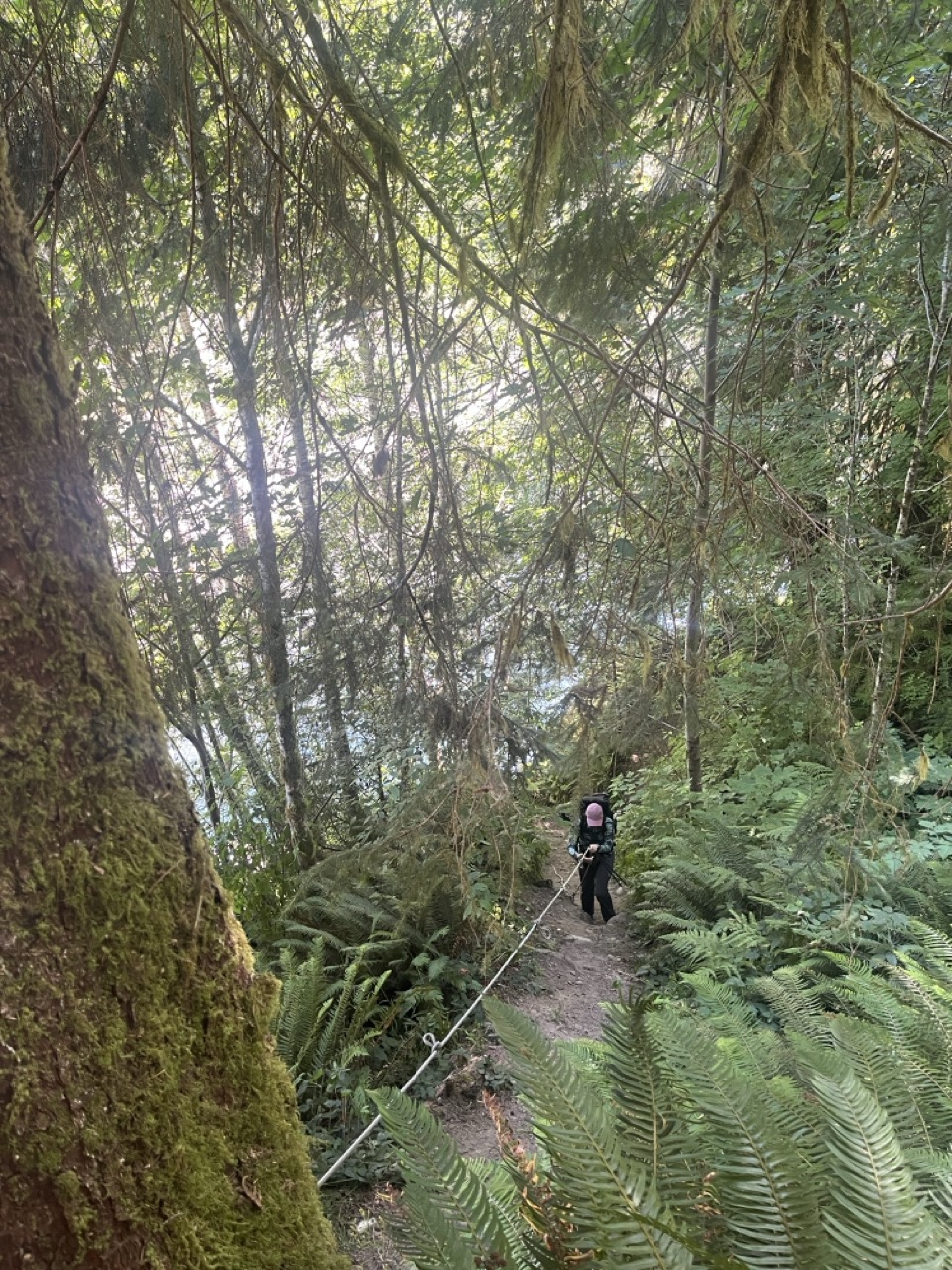
The rope was helpful here!
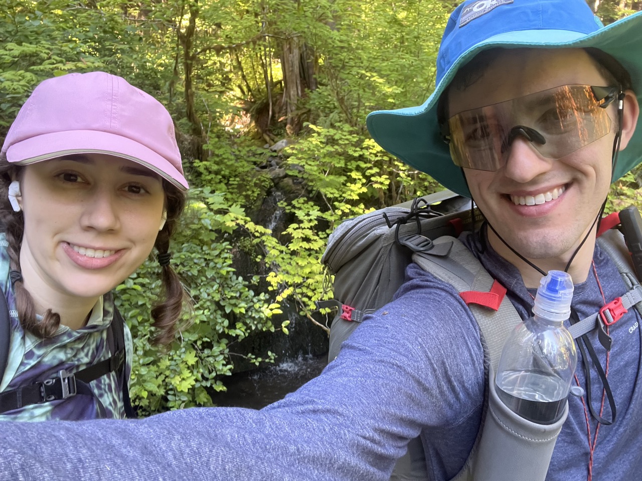
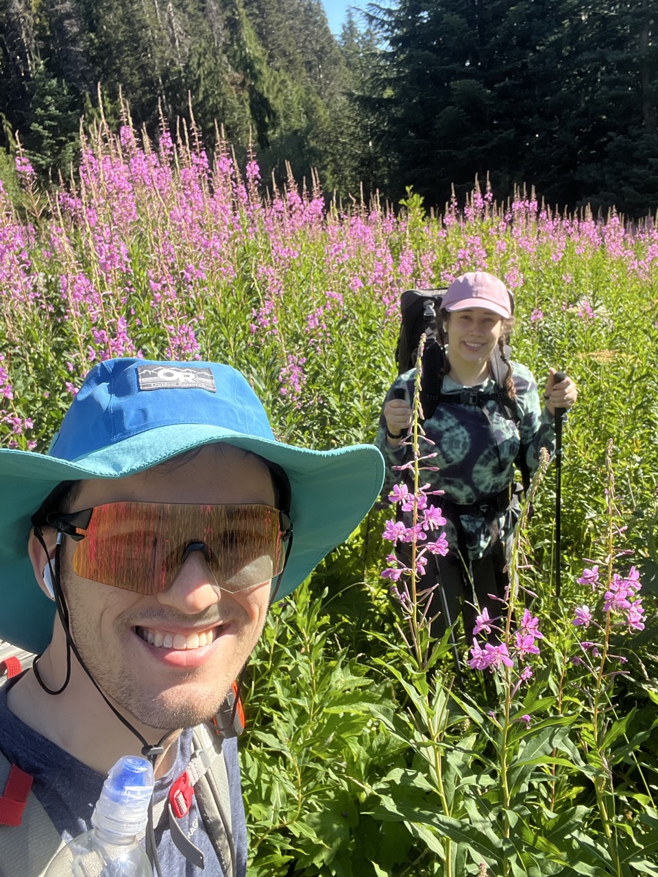
Looking fresh on Day 1.
Day 2: Flapjack - Hyak
If Day 1 was lush, Day 2 was… extra lush? At times we were pushing through overgrowth along this lightly traveled trail with some deadfalls. We found a cool lunch spot at a bend in the river, between Mile 11 and Mile 12 on the Caltopo map.
Hyak campsite isn’t much, just a shelter and a small clearing with room for 5 or so tents. It reminded me of the make-do campsites along the PCT. We saw some familiar faces: another pair of hikers made the same trip from Flapjack to Hyak. They were planning to go even farther but got a little mixed up with their distances.
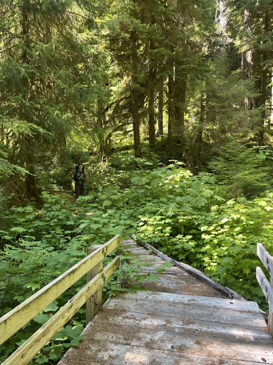
A boardwalk! Lots of trail features like this.
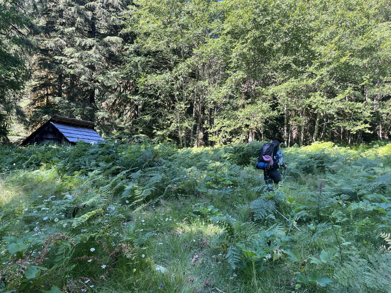
Approaching Hyak campsite.
Our Food
Here I had the worst meal of our trip: instant mashed potatoes and dehydrated lentils with za’atar seasoning. Perhaps my aversion to instant mash from my PCT days hadn’t fully faded, or za’atar was the wrong choice, or I’d simply added too much. It took a very long time but I did eat it all.
Besides that we had things like instant ramen, couscous, tuna packets, a few freeze-dried meals and snacks, Snickers bars, Clif bars, shelf-stable sweet potato, etc…
Day 3: Hyak to Deer Lake
The Bogachiel trail in this section seemed minimally traveled but was in good enough shape. As the trail was just beginning to climb out of the valley, we heard a rumbling in the bushes and saw bushes and leaves shake away from us and up the hill. Could have been a bear.
On the divide around Mile 23 we got cell service and made a few calls. We hadn’t seen anybody else since leaving Hyak, but finally passed by somebody as we dropped down towards Deer Lake. Deer Lake was cute and somewhat buggy, and busy enough to feel like a mini village. I didn’t quite understand the campground layout and started to set up camp within somebody else’s site (we had permits but they aren’t tied to particular sites). Later I found an empty one in a low meadow so we picked up and moved. There was an old penny in the dirt and plenty of bugs so I decided on “Camp Pennybug” for a name.
I found a comfy rock on the lakeshore to lay down on and contemplate for a short while before going to bed.
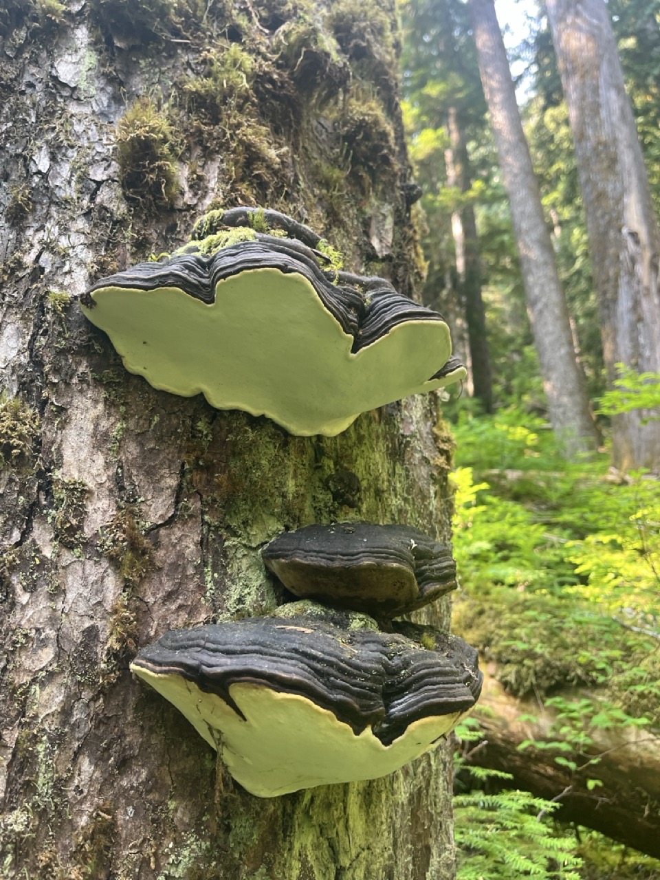
Lots of cool nature at all scales.
Day 4: Deer Lake to Appleton via Sol Duc River
Our original plan was to go around Sol Duc Basin on the High Divide Trail. But we were both feeling a bit tired at this point, and excited at the possibility of taking an easier route. So we chose an easier route via the Sol Doc River Trail. This also took us very near some trailheads by Sol Doc Falls, where I spotted a kid wearing a “Bonaire island vibes” t-shirt. Definitely in the front country.
We were both very glad to take the easier route since we found Appleton Pass somewhat formidable at our modest level of fitness.
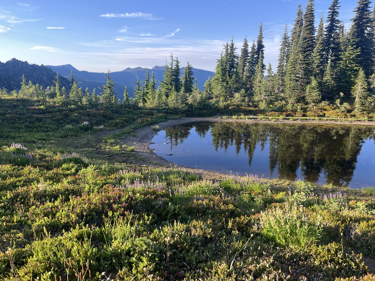
Appleton Pass campground was a true highlight, amazing scenery and plenty of water in the pond along with tadpoles and frogs. I also finished my audiobook about the HMS Wager, which was quite the tale. It’s true that any bits of media you bring along become more interesting on trail, but this story was truly quite good and it was fun to chat about it as we hiked.
At Appleton Pass campground.
Day 5: Appleton to Boulder Lake
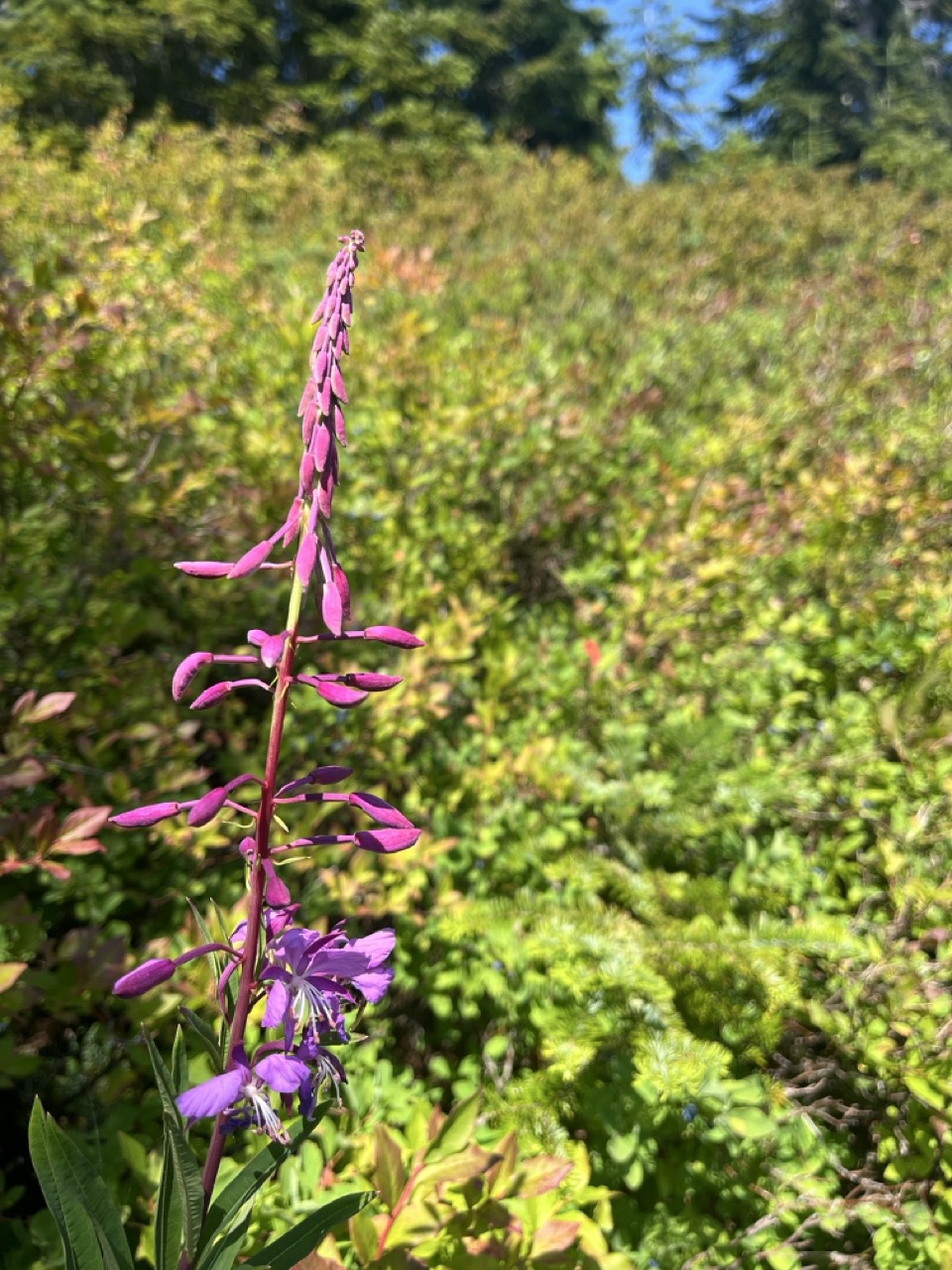
I’d been slowly shifting our wakeup schedule earlier each day to give us the best odds of catching the earlier bus on Day 6, so we were up around 05:00. Perfect timing to see a beautiful sunrise over the valleys, and as the light filled the landscape we discovered lovely carpets of wildflowers.
For me this was the easiest day, I felt dialed in and we reached Boulder Lake quite early. Once again we were off the beaten path, and we only saw one hiker until reaching the lake. We were coming downhill and accidentally startled her.
Boulder Lake was a rather calming spot, lots of nooks to explore and rocks to bask on. I waded in up to my waist but decided it was too cold to go in further.
Leaving Appleton Pass.
Among the wildflowers.
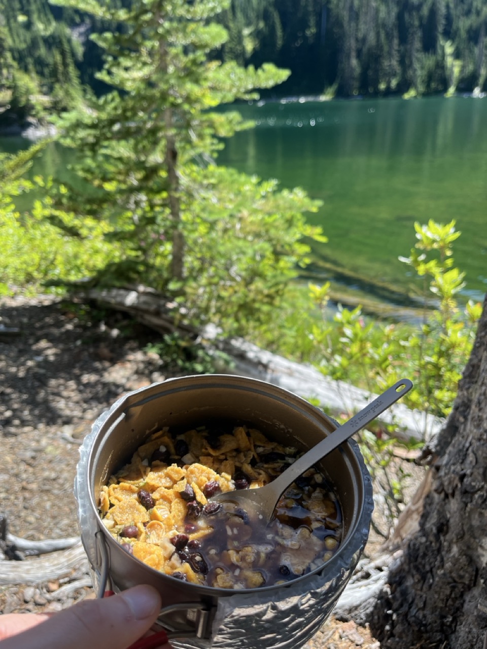
Tortilla soup!
Day 6: Boulder Lake to Lake Crescent
We woke up at 04:00 like a couple of absolute pros, and were hiking before dawn. We warmed up quickly climbing up the ridge away from Boulder Lake and then the sun found us on the trail.
We chatted with slightly strained breath as we focused on pace to meet the 11:21 Clallam Transit 14 trip to Port Angeles. The trail began a steep dropdown towards Barnes Creek, and we were both glad to have trekking poles for the downhill. We encountered the same hiker as yesterday along the trail, but this time we stopped for a nice chat and to share some charge since her phone was dead.
Can’t say enough nice things about Clallam Transit, which delivered us back to Bainbridge in comfort and style.
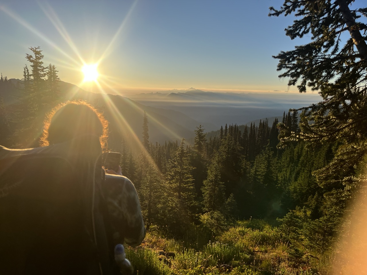
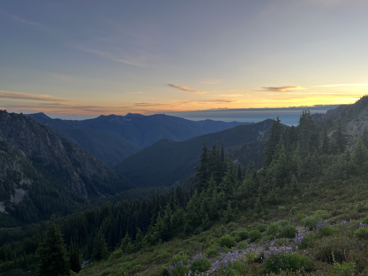
Our last sunrise on trail.
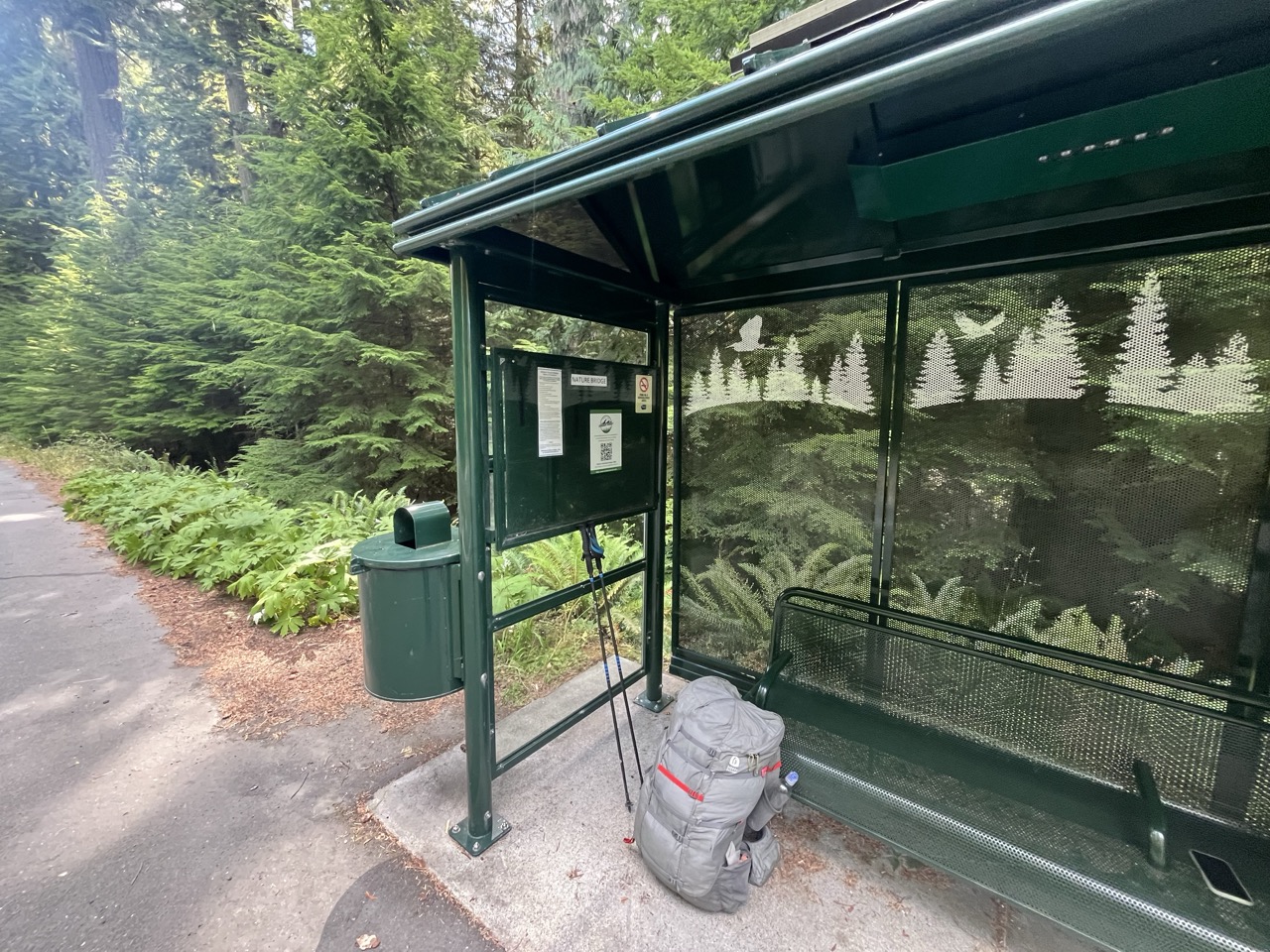
Great example of a highway bus stop.
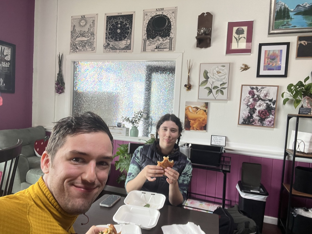
Some tasty breakfast sandwiches from the Pink Pony Cafe in Port Angeles