Regional Connections: My Commute
Since moving to the island, I’ve found myself commuting to Sacramento regularly. I still don’t own a car, so it’s a multimodal trek by bike, bridge, and train.
The Bike
My commuter started as a perfectly ordinary 2010 Giant Defy 3. I bought it used around 2016, and it’s been a spare road bike, a commuter with rack and basket, and several iterations of kit conversion ebike. I did my ebike conversion back when I lived in LA. The goal was light and with a good top speed, and then as affordable as possible. I landed on a friction drive kit called Qiroll, the specifics of my project are available on GitHub.
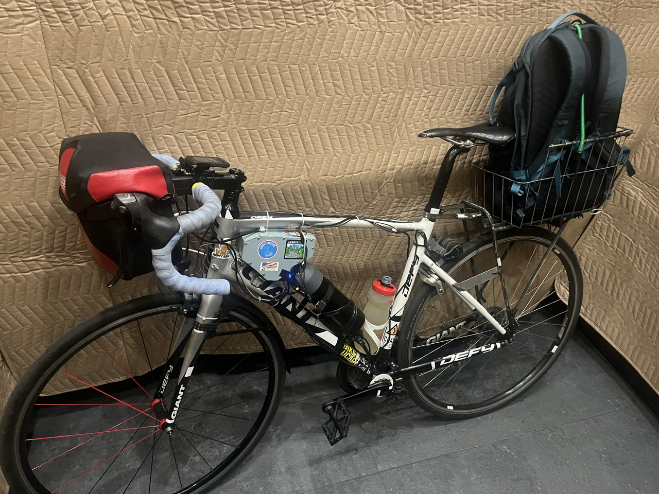
The ebike in its current configuration, with dual motors and batteries.
I didn’t know I’d be moving to the bottom of a steep hill when I got the kit. It’s not the ideal system for steep, sustained climbs. But since I already had it I was determined to make it work. With a single motor and the stock friction strip, I had to pedal hard enough up the hill that I got close to my max heart rate every time. While that would be good exercise for some people, it’s not especially healthy for me and certainly not a reasonable expectation for people making the trip off the island.
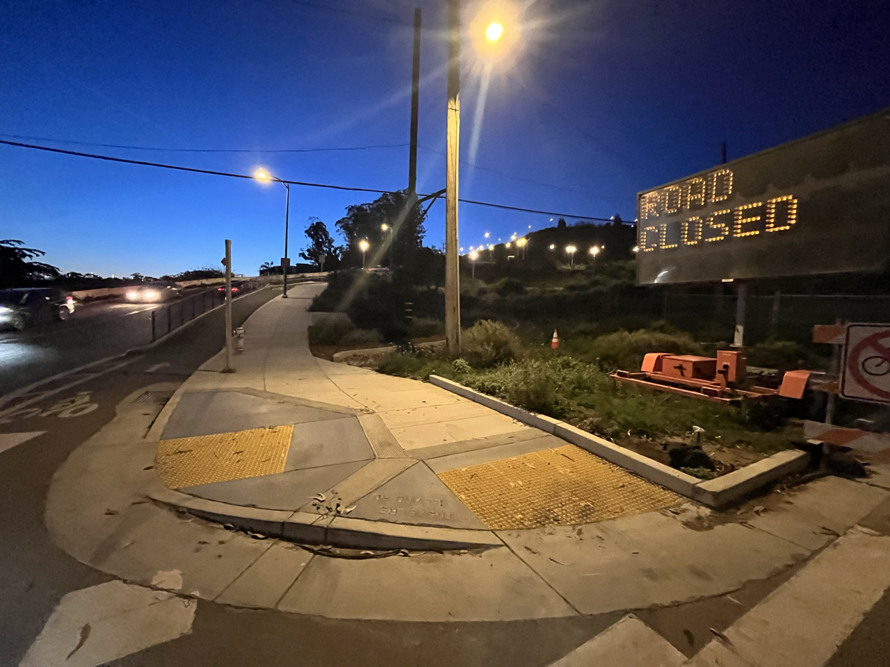
Bottom of the Macalla switchbacks at dawn.
So I added another motor. Qiroll quotes 320W for their Pro motor, but I suspect the real wattage in a steep climb is less. Call it 250, and two motors give me 500W of electric, and I probably add another 150-200W making 700W total to climb Macalla. Once the West Side Bridges Retrofit is complete there will be a more gradual option. Until then, anyone who’s not extremely athletic and interested in heading to the East Bay by bike regularly should probably get an ebike with 500-750W. Towards the lower end if it’s a mid-drive, you’re lightly loaded, or are willing to contribute more of your own power. Towards the higher end if it’s a hub or friction drive.
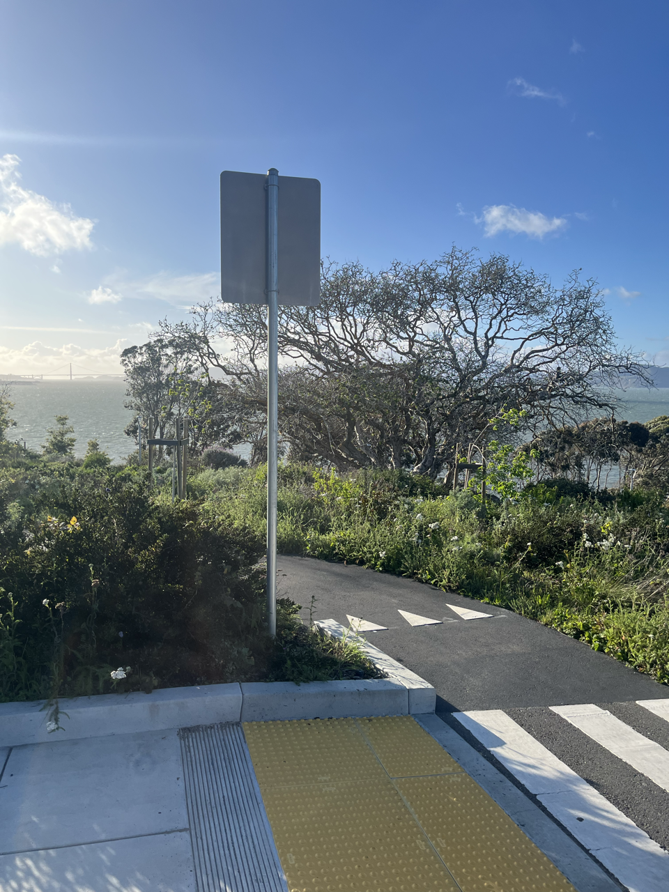
Top of the Macalla switchbacks, looking down. Note the hill is even steeper above this point.
Being in the Middle
I rely on the Capitol Corridor to get to Sacramento, which means I first have to get to Emeryville. All public transit options from Treasure Island face west to Mainland SF: the Muni 25 bus to Salesforce Transit Center and the Treasure Island Ferry. This means you have to go west to go east. Which is annoying. In other words, the island sits in the middle of the Bay but not the middle of the transbay transit network. For a transit rider trying to get to Oakland it’s like starting from West Portal or anywhere else about 20 minutes from Embarcadero BART.
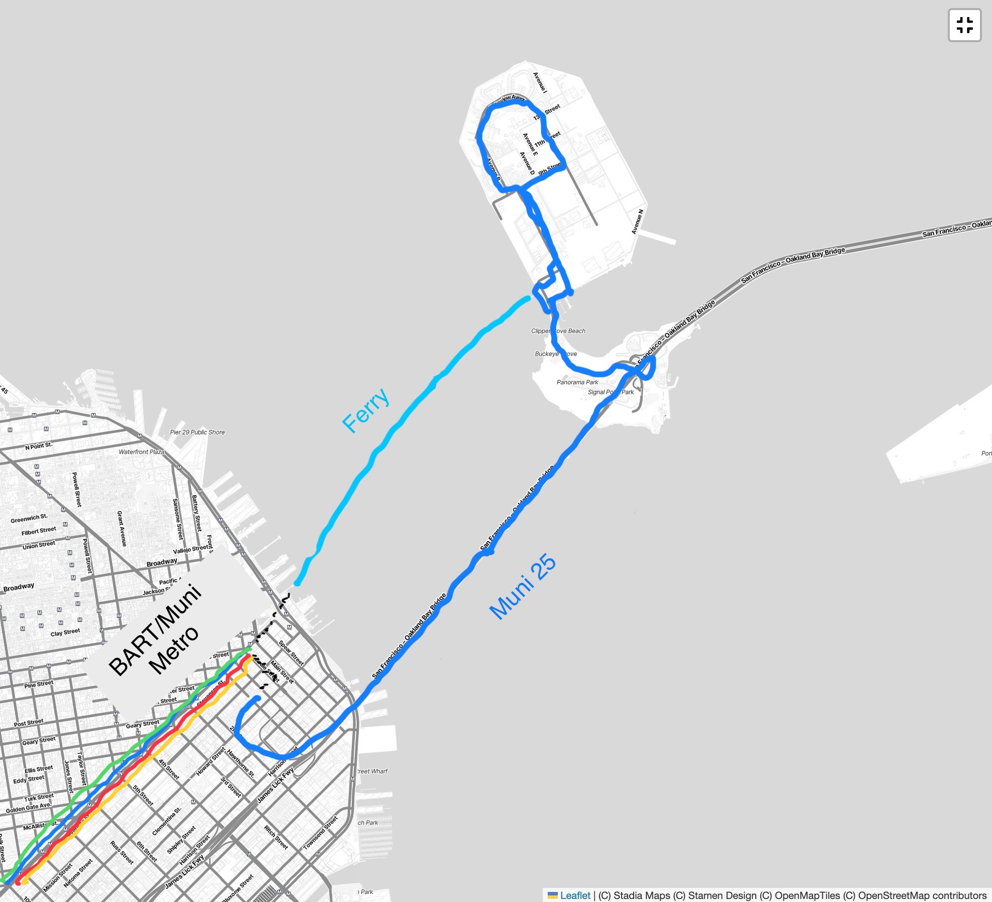
Capitol Corridor does run connecting buses from Downtown SF to Emeryville for each train, conveniently enough from Salesforce Transit Center. But they depart a full 40 minutes before the train does. That’s on top of the time it takes to ride from TI to Salesforce (15min), and add another 10 minutes to that since you’ll want at least that much time to make the connection and the 25 only runs every 20 minutes.
In short, getting to Emeryville Amtrak on transit takes at least 1 hour and 5 minutes. All to go a straight line distance of less than 5 miles.
So I ride my ebike. Biking has the opposite problem: you can go east but not west (and also apparently not between the hours of 9pm and 6am, but that’s a topic for another day). Someday you’ll hopefully be able to bike to Mainland SF, but the Bay Skyway has been seemingly 10 years out for 10 years now.
The Trip
The Hill
Getting from my doorstep to the start of the Bay Bridge East Span Path takes about 8 minutes. After crossing my street I travel on car-free streets, shared paths, and protected bike lanes (including the Macalla switchbacks) until reaching the top of the hill. There I merge into the travel lane for the downhill to the bridge. The protected bike lane continues along the south side of Macalla, but it becomes a contraflow lane for uphill bike traffic only.
The Bridge
The bridge path itself is a little over 2 miles. It’s a strange experience, being close to all that car traffic on a path that doesn’t yet get much commute usage. For now it probably makes more sense for Treasure Island residents to commute west to the mainland, not east: direct public transit and no bridge toll. I imagine as more folks arrive the path will get busier, but it will probably take the full Bay Skyway to Mainland SF before it’s truly popular.
While the path feels a little remote and exposed, it’s a quick crossing on an ebike. The views are great, too. I wonder if more commuters would use it if there were some sort of “bikeway service patrol” that could help fix a flat or provide water, snacks, and the like. That and Bay Wheels bikeshare, which would enable more one-way trips and access for folks without their own bikes.
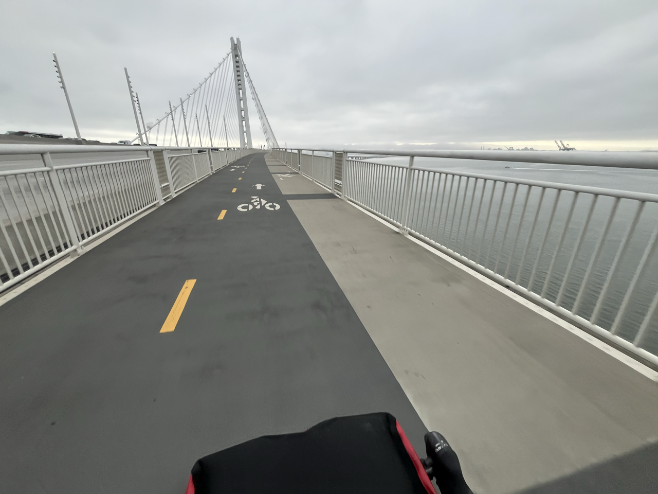
Wide open path.
Then it’s another couple miles on the approach paths, before navigating a mix of bike lanes, off-street paths, and bridges in Emeryville. The whole ebike trip reliably takes me under 25 minutes to travel 6.5 miles, though I build in a 15min buffer in case I get a flat. So that’s 40 minutes total – 25 minutes faster than the transit option.
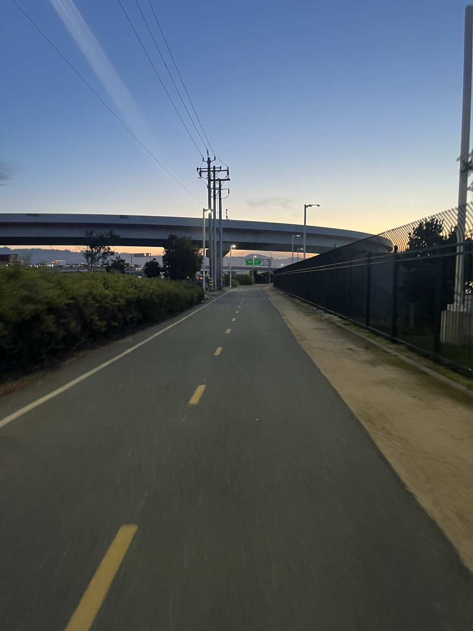
Along the freeways in the morning.
The Train
The Capitol Corridor is a pretty great service. I don’t have too many specific insights or complaints that aren’t covered elsewhere. If Sacramento had some sort of affordable bike share I’d consider leaving my own bike in a locker in Emeryville, bike capacity can be tight on the trains. Overall it’s comfortable and the cafe car is a nice amenity. Electrification and a shorter trip time would be nice, but even in its current state it’s the best option between Sacramento and the Bay Area. The ride from Emeryville to Sacramento Valley Station is just under 2 hours.
Across Town
Sacramento Valley Station is not exactly central, and the platforms are far from the street entrance. It probably takes about as long to walk from the train to the entrance as it does to ride from there to the office. As I understand it, the platform relocation was essential. But it seems like the pathway and entrance configuration could be optimized a bit.
Door to door, my one-way travel time is about 2 hours and 45 minutes. A long way.
More Thoughts
I’m fortunate that I don’t do this every day of the week. Super commuting is a drag, even as I try to enjoy the moments as much as possible.
Even if I had a shorter commute to, say, Downtown Oakland, the ebike would still be essential. That includes traveling at higher speeds – while my average speed is under 20mph I tend to cruise the bridge path at around 25. The legislature seems to understand this as the bike highway pilot bill (AB954) calls for design speeds of up to 25.
Parts of our cities are compact, dense, and complex with lots of pedestrians. It makes sense to advocate for slow speeds there (which should go for cars too). But I don’t think it’s inconsistent to acknowledge that much of California is sprawling, and addressing longer trips is key to reducing Vehicle Miles Travelled and achieving our climate goals (see page 7 of the California State Rail Plan).
Active transportation facilities designed for safe and fast travel can provide a healthy and affordable alternative to driving that respects the traveler’s time, just as the Bay Bridge path does for me right now.